

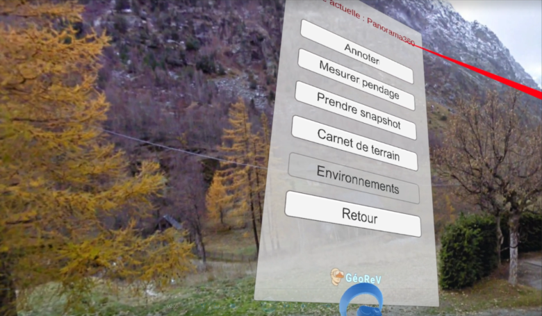
Extrait de l'interface GéoRev
GéoRev
Project background and objectives
Being able to observe and describe subsurface features in three dimensions is essential to understanding how they work and the challenges they present. Experiments conducted at Université Paris-Saclay since 2020 have demonstrated both the considerable added value of virtual reality tools for exploring these features and the need for an interface specifically designed to support understanding of the subsurface.
GéoReV aims to develop such an interface through close collaboration between software developers and geologists, drawing on state-of-the-art hardware and software technologies to make it accessible to educational institutions and the general public alike.
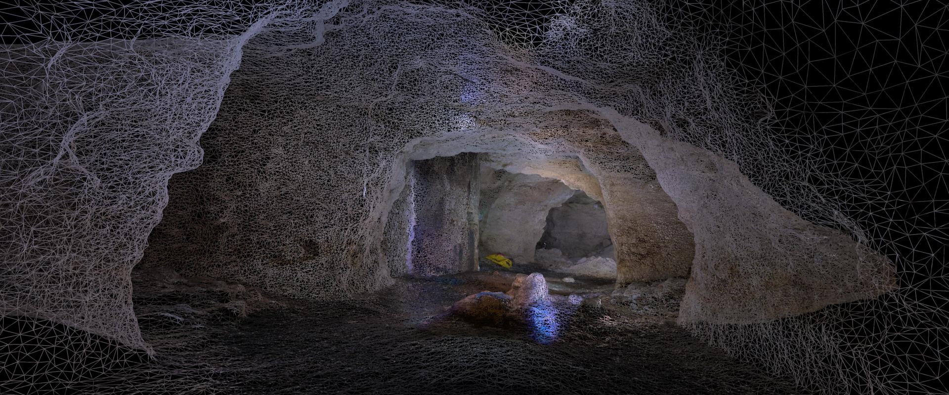
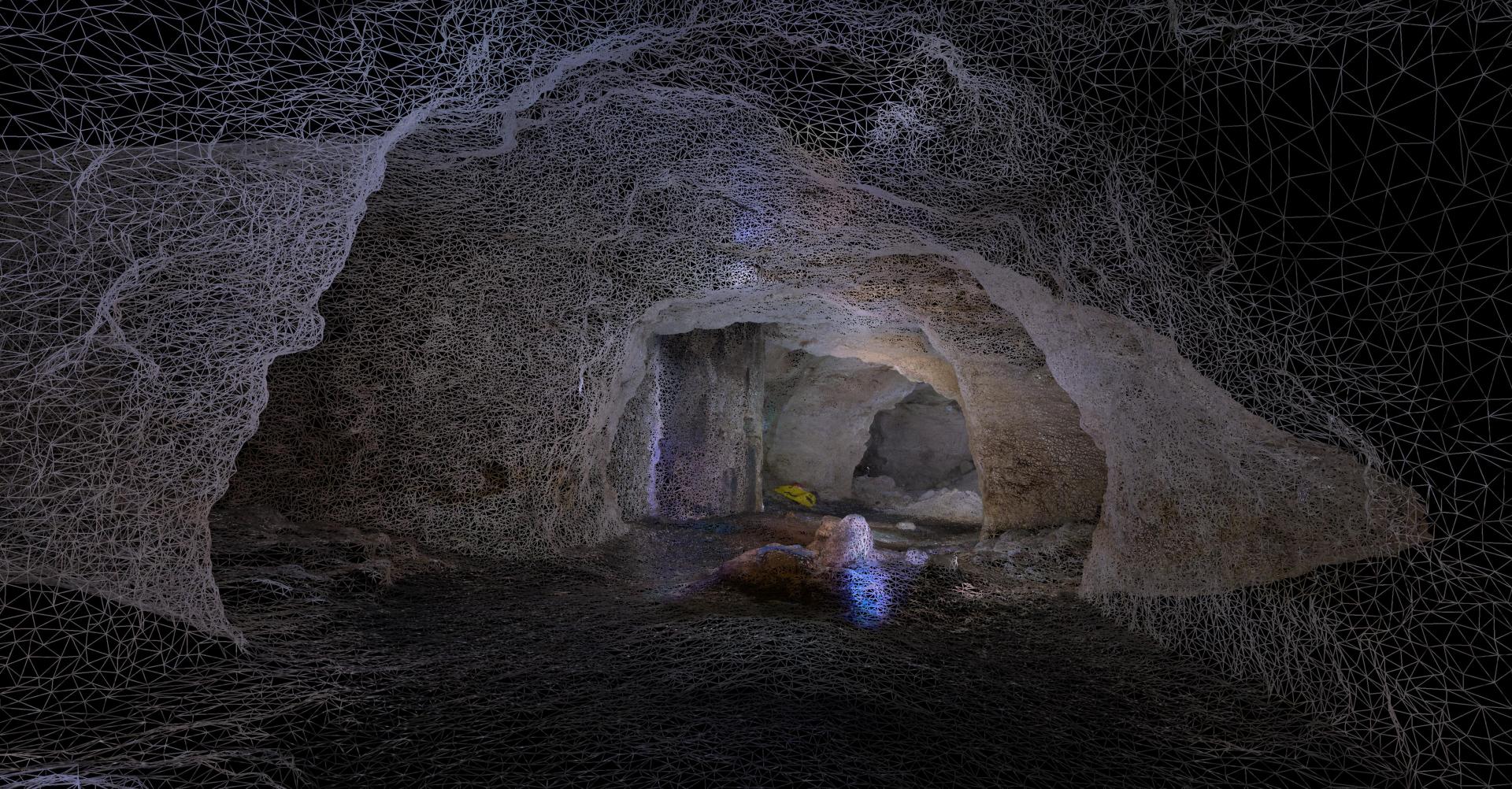
In practical terms, users will be immersed in a landscape or positioned in front of a geological outcrop, with access to additional resources such as 3D scans of samples and thin-section photographs. They will be able to move around, describe and explore these environments, and develop their understanding of the subsurface through interactive scenarios tailored to their needs and expectations.
The project targets a wide range of audiences: secondary school pupils, higher education students, geoscience professionals and the general public, who are often unfamiliar with the subsurface and may sometimes have a negative perception of it. For people with physical disabilities affecting their mobility, the tool will also provide an alternative to fieldwork, without replacing the experience of being out in the field.
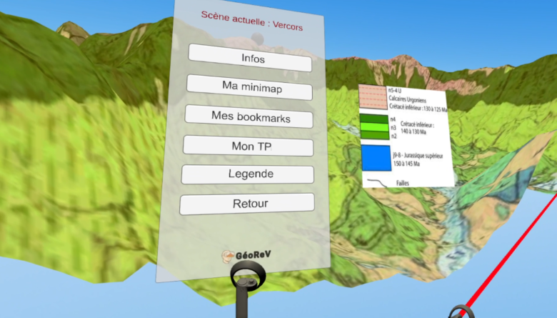
Extrait de l'interface GéoRev.
GéoRev.
Expected outcomes
The final tool will be free and open-source, specifically designed to visualise and explore the subsurface in virtual reality. It will be intended for the general public, educational institutions at all levels and geoscience professionals. Its development will focus on two complementary areas: the interface itself and the educational experience.
The interface will be developed using the Unity 3D simulation engine. It will be designed to be intuitive and easy to use, while ensuring smooth performance across a wide range of hardware and compatibility with most consumer virtual reality headsets. It will support the easy import of 3D models, including high-resolution models, in the most widely used formats. Users will also be able to navigate easily within a georeferenced environment aligned with geographic North.
Beyond navigation, the interface will provide practical tools for working with geological data. Users will be able to measure geological planes using a virtual compass and save the resulting data, annotate objects and extract images to create visual outputs, or consult text and graphical documents, such as geological maps, directly within the virtual environment. Points of interest can be linked to images, text or hyperlinks, while saved locations will allow users to move instantly between favourite places, including sites represented as 3D panoramas. Users will also be able to manipulate 3D samples and examine them from every angle, moving seamlessly between different models: from a landscape to an outcrop, then to a sample collected from that same outcrop.
The educational experience will consist of subsurface exploration scenarios organised into themed digital learning pathways (for example, subsurface and landscapes, or subsurface and construction materials). Each pathway will combine 3D models at different scales with additional resources, such as high-resolution 360° views, descriptive information panels, 3D samples, thin sections and drill cores. These resources will be positioned at specific points of interest, with interactive scenarios guiding users from one location to the next. The pathways may take the form of serious games, with levels of complexity adapted to the intended audience.
A flexible and adaptable tool
From an educational perspective, the interface is designed to become a lasting part of Earth science teaching, particularly at secondary school level, supporting the delivery of national curricula. Its compatibility with affordable virtual reality equipment will make it easier for schools to adopt. The software is also designed to evolve over time, with content that can be expanded and updated based on feedback from teachers and students.
The tool also offers significant potential for science outreach to the general public. Its immersive and interactive format makes it particularly well suited to events such as Science Festivals, science and technology exhibitions, and museum displays. Its ambition is to help change the way people perceive geological structures, which can often seem abstract and difficult to grasp.
Project organisation
Bringing together geologists and virtual reality specialists
The interface is being co-developed by the project's geologists (Y. Missenard, B. Saint Bezar, A. Benedicto and G. Delpech – GEOPS Joint Research Unit) and J. Vézien (LISN Joint Research Unit), a virtual reality specialist with whom initial tests have already been carried out. J.-D. Moreau (GEOPS), an engineer specialising in 3D imaging, will supply the interface with 3D models.
Two postdoctoral researchers will strengthen the team: one specialising in software development, the other in the design of educational resources, including virtual field trips with integrated quizzes, serious games, and activities involving the description of landscapes, outcrops, samples, drill cores and boreholes.
GéoReV received funding administered by the French National Research Agency (ANR), under project ANR-21-ESRE-0030 / CONTINUUM.
Project leads
Yves Missenard (Université Paris-Saclay), Associate Professor, GEOPS Laboratory
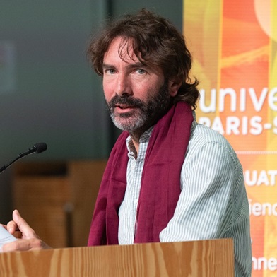
Yves Missenard
Yves Missenard
Yves Missenard is an Associate Professor at Université Paris-Saclay. A field geologist by background, specialising in tectonics, he is a member of the GEOPS Earth Sciences Laboratory (GEOPS). His research focuses on better characterising and understanding intraplate deformation in Europe and North Africa. With a strong commitment to teaching, he has been incorporating virtual reality tools into his teaching of cartography and geodynamics at undergraduate and master's level for several years.
Jeanne Vézien (CNRS), Research Engineer, LISN Laboratory
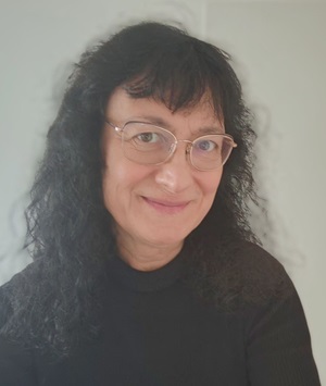
Jeanne Vezien
Jeanne Vezien
Jeanne Vézien is a CNRS Research Engineer at LISN, Université Paris-Saclay, within the VENISE team. She specialises in Virtual Reality and Augmented Reality. Her research focuses on immersive environments, human-computer interaction and the design of XR systems, particularly for learning and exploring 3D data. Within GéoReV, she leads the Virtual Reality work package, overseeing the design of the immersive interface, the integration of geological data and the coordination of XR development in collaboration with the project's geologists.
Partners