Digital Earth: a platform for shared knowledge
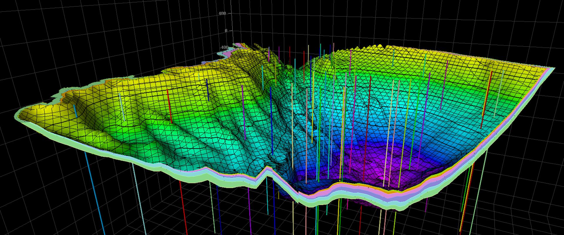
The Digital Earth project aims to create an integrated platform that brings together geological data and knowledge, 3D models, and decision-making tools. This initiative seeks to:
- Centralize knowledge: by gathering qualitative and quantitative data on the subsurface.
- Facilitate collaboration: through interfaces tailored to the needs of scientists and decision-makers.
- Improve decision-making: by providing tools to assess resources and environmental impacts.
The platform relies on three interconnected areas of expertise:
- Geology: organizing data and describing geological bodies.
- Spatial Prediction: continuous modeling of the subsurface with uncertainty integration.
- Multi-Physics Modeling: simulating natural processes and their temporal evolution.
These areas combine expertise in geology, physics, chemistry, applied mathematics, and cognitive sciences to provide a holistic view of the subsurface.
CURSUS: the first step toward Digital Earth
The CURSUS platform is a key step in the development of Digital Earth. It aims to structure and share business processes related to subsurface management. Here are its main features:
A Business Process Repository
CURSUS centralizes business processes and practices to facilitate mutual understanding among different areas of expertise. It enables:
- Tracing production and industrialization circuits: by describing the activity chains from data acquisition to the formalization of geological knowledge through various publication methods.
- Describing needs: by detailing the steps and tools used by each profession. For example, a geologist can document the methods used to analyze rock samples, while a geophysical engineer can describe seismic prospecting techniques.
- Promoting collaboration: by harmonizing vocabularies and methodologies across disciplines. Some technical terms specific to one profession may be synonymous with terms used in another, which can hinder communication on the same subject.
- Clarifying exchanges: by identifying often implicit automated mechanisms in each profession and making them explicit for better collective understanding.
Three Main Entry Points
The platform offers users three access universes to structure this tool:
Scientific Processes: at the core of the platform, this section details the methodologies used in all professions and can be sorted by criteria such as profession, project, standard, or method family. For example, processes for airborne spectro-imaging or regional gravimetry.
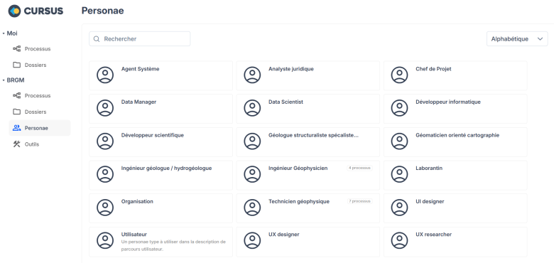
Professional Profiles: the purpose of the processes is to understand "who uses what to do what with what to produce what." For example, a sedimentary geologist will observe an outcrop, while a technician will analyze a thin section. Each action in a process is primarily characterized by a professional profile and a tool. CURSUS also stores the main features of the professional profiles operating within BRGM.
- Tool Encyclopedia: whether physical objects, digital services, or measurement systems, CURSUS builds a database that references common tools used by different professions. Each process indicates the tools it uses, providing a global view of shared technologies.
A Multidisciplinary Approach
CURSUS relies on process theory and knowledge engineering to develop multidisciplinary decision support tools. The more processes are described in the platform, the more reliable the foundations for Digital Earth will be. To date, 70 processes in geophysics and as many in geology have already been integrated. This approach enables:
- Identifying synergies: by comparing processes from different professions, it is possible to identify opportunities for collaboration or redundancies to avoid.
- Optimizing workflows: by standardizing methodologies, teams can work more efficiently and avoid errors.
- Improving transparency: by making processes explicit, decision-makers and stakeholders can better understand the issues and constraints related to each profession.
Gradual Adoption
Since its launch in February 2025, CURSUS has been accessible to members of the Digital Earth project and partners of the "Sous-sol, bien commun" program. Workshops are being organized to accelerate its adoption, particularly in geology and geophysics. These workshops aim to:
- Train users: by presenting the platform's features and explaining how to contribute.
- Gather feedback: by identifying specific user needs and improving the platform accordingly.
- Expand the community: by integrating new professional profiles and tools, the platform becomes increasingly representative of the various disciplines involved in subsurface management.
Toward Sustainable Subsurface Management
The Digital Earth project and the launch of the CURSUS platform mark a major advancement in the management of subsurface resources. By centralizing knowledge and promoting collaboration across disciplines, this project will contribute to the responsible and sustainable use of underground resources. Future prospects include integrating new professions and extending the platform to other scientific fields, paving the way for even smarter and more sustainable subsurface management.


