Actualités
Challenges
Today's economic, environmental and planning issues require access to useful, up-to-date information about the subsurface. Recently, new tools and methodologies have emerged for the acquisition and dissemination of data and knowledge, as well as for 3D modelling and multi-physics simulation of natural processes at several scales. They have the potential to revolutionise the way we collect, produce and use this geological knowledge, in order to provide better services.
Objectives
Geology is both a natural and an integrative science that draws on many other disciplines. The challenge is to combine these two characteristics in order to build:
- A unique Digital Earth platform giving access to shared qualitative and quantitative knowledge of the subsurface in the form of skills and a set of digital data, models, tools and corresponding coherent workflows;
- An improved user experience, drawing on the feedback from data contributors and consumers.
The geoscience information system gateway (work package No. 2) will be the entry point for deploying innovative technologies for predictive geoscience, such as modern data analysis and combined inversion methods. It will provide access to data and models produced within interconnected centres of expertise, focusing respectively on:
- Geology (work package No. 3), including the organisation of data and its interpretation, the identification and description of the geological formations making up the subsurface, and their spatial and temporal relationships;
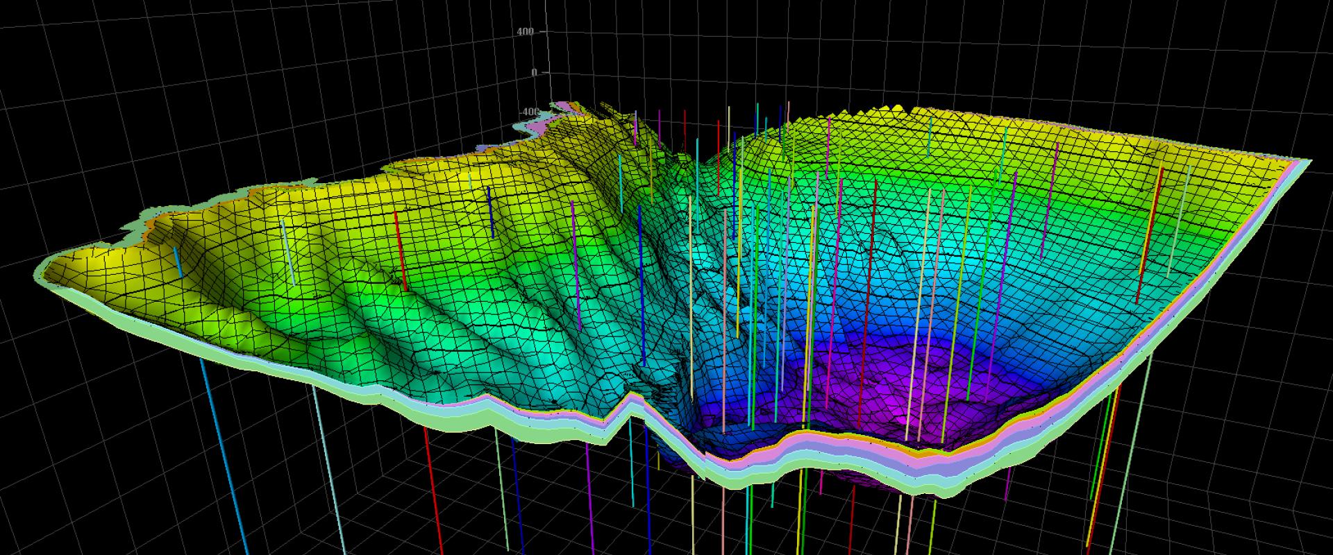
- Spatial prediction (work package No. 4) to build continuous models of the subsurface including physical properties and incorporating geological and physical uncertainties;
- Multi-physics modelling (work package No. 5) to simulate the temporal evolution of the subsurface and in particular the coupled physical processes that control it.
All these disciplines draw on several areas of scientific expertise: geology, physics, chemistry, applied mathematics, computer science and cognitive and social sciences. It is therefore essential to build bridges between these very different scientific contexts, particularly in terms of vocabulary, rules, practices and theoretical frameworks.
The lack of technology transfer (IT, data science, etc.) and the resulting compartmentalisation of research is one of the obstacles to socio-economic development and innovative achievements. This also means including future users in the process, to understand what information and interfaces are required to meet their needs. The overall aim of the project is to remove this obstacle.
All the members of the Digital Earth project share the desire to federate, incorporate and enable the transfer of subsurface knowledge to stakeholders, so that they better understand the challenges associated with the subsurface and have access to information and decision-making tools. They will thus be better equipped to assess the potential for using the subsurface, its resources or the impact of anthropic constraints on this environment. Exchanges between all the disciplines will enable the development of synergy (joint workshops, summer schools, secondments, etc.) that will facilitate the integration of different approaches.
Co-managers
François Prognon, Deputy Director of BRGM's Georesources Division, is coordinating the Digital Earth project. With a PhD in Earth Sciences and 14 years of experience at BRGM, he has carried out numerous geological studies in France and abroad. With solid experience in managing complex projects – often linked to nationwide geological infrastructure projects – he has extensive experience in organising geological data and information. Since 2019, as manager in charge of research development in the Georesources division, he has dealt with all the issues inherent in the data life cycle. In particular, he played an active role in focusing the department's projects on this theme and ensuring their consistency.
Yann Dantal, who is responsible for work package No. 2, wrote his thesis on space travel using Hall-effect propulsion systems, at the Ecole Polytechnique. He set up Soluscience to help research laboratories structure their experimental data and capitalise on data processing. He joined BRGM in 2022, and is in charge of data management for the JUNON project on the study of water resources, greenhouse gas emissions and pollutants with effects on health; he also manages the information system for OFREMI, the French Observatory of Mineral Resources as well as federating geophysical data for recording and exploiting the various geophysical measurement campaigns for subsurface imaging.
Thierry Baudin, a scientific expert in BRGM's Georesources department, is responsible for work package No. 3. With 28 years of experience at BRGM, he has produced some thirty geological maps in Morocco and France and has co-authored more than 70 publications. He also has extensive experience in geological ontology and the organisation of geological knowledge based on the experience of major civil engineering projects such as the Lyon-Turin transalpine rail link. Furthermore, he played a key role in the design and implementation of the Référentiel Géologique de la France (the French geological repository).
Guillaume Caumon, professor of digital geology at GeoRessources and ENSG, is responsible for work package No. 4. His research focuses on determining appropriate numerical parameters for geological objects in order to incorporate geological knowledge, address inverse problems and quantify subsurface uncertainties, with an emphasis on sedimentological, stratigraphic and structural aspects in sedimentary basins. He has supervised 26 PhD students, contributed to 70 scientific publications and received awards from the French Academy of Sciences, the Society of Petroleum Engineers and the International Association for Mathematical Geosciences in recognition of his contributions.
Marie-Christine Cacas-Stentz is in charge of work package No. 5. She runs a project to develop numerical simulation tools for the subsurface, at the scales of geological time and sedimentary basin. Her work is applied to CO2 storage in saline aquifers, to modelling the migration of natural hydrogen and lithium and characterising the thermodynamics of sedimentary basins for geothermal energy. She has spent her entire career at IFPEN in the field of numerical modelling applied to the geosciences. She has filed applications for a dozen patents in this field.
