Actualités
Challenges
Among the territories studied as part of the Subsurface, a common good program, French Guiana has a number of special features: in addition to its geographical position and history, it combines different cultures in a rich and largely unknown environment, in a current context of economic fragility and socio-political tensions.
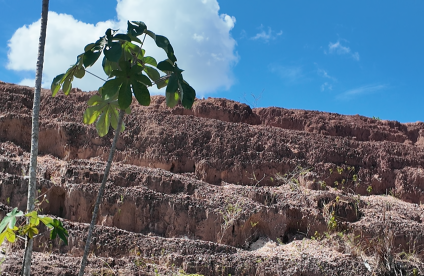
The GOYAVES project brings together 9 research establishments to explore the links between the subsoil and human societies in French Guiana. Their common objective is to contribute to the elaboration of scenarios and shared visions of the territory's georesources and socio-ecosystems. In terms of the subsoil, the project will focus on the regolith, which in French Guiana is where most of the current challenges lie (groundwater, natural hazards, easily accessible raw materials, etc.). In fact, the regolith is the space that can be dozens of meters thick, acting as an interface between the bedrock and human and biological activities on the near surface.
Expected results
The GOYAVES project has 2 main objectives:
- To provide new scientific knowledge on the structure and functions of the Guyanese subsoil, in its many facets (geological, ecological, sociological, historical, etc.).
- To provide Guyanese stakeholders with potentially new and better-shared representations of the current and future (to 2040) management of their territory's resources, but at a more integrated level. This level means that these new representations will defocus from the sole subject of the mine to achieve a more global vision of the subsoil within Guyanese society, and thus a less fragmented and less divisive perception of this subsoil.
This global vision could then lead to an adjustment of the public strategy concerning Guyana's subsoil resources, so that the latter can henceforth be perceived and managed as a genuine common good. In particular, this adjustment would involve updating public choices concerning the protection of Guyana's subsoil, its exploitation and/or its use for regional development purposes.
Project organization
Synthesis of updated data on the subsoil of French Guiana, on a territorial scale
The aim of this work package is to update geological, physical (topography, hydrology) and geohistorical data for French Guiana. This includes the digitization, georeferencing and banking of old geological maps and historical social data (demographic, economic, sociological).
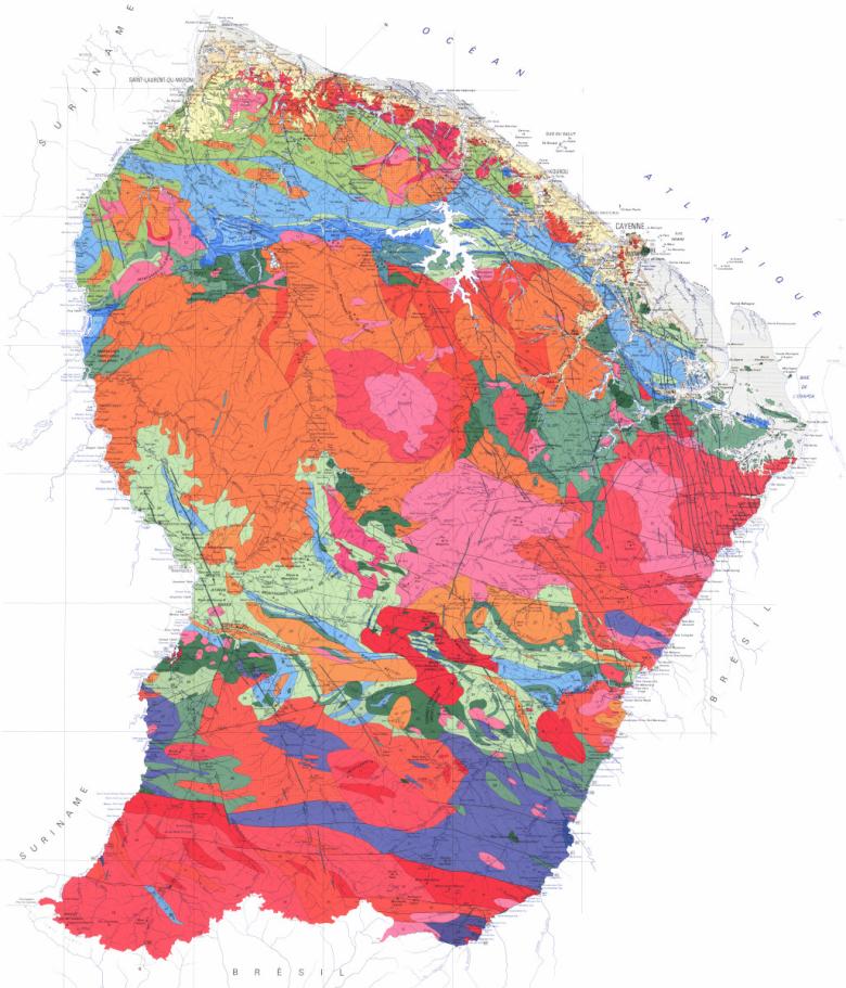
The geological map will be enhanced using available geophysical and topographical data, as well as the results of dedicated studies (geochronology, geochemistry, structural) on the bedrock to better understand its evolution (origin and filiation of magmas, timing of magmatic and metamorphic episodes, deformation modalities, PTt paths) and its influence on the regolith.
The study of regolith will focus on its formation processes and chronology, its georesource potential and its role in terms of natural hazards. The results will include a new geological map that will be set against a historical atlas of migrations.
Uses and representations of geo-diversity: stakeholder strategies and territorial issues
By combining geosciences and social sciences, the aim of this line of work is manifold:
- Create indicators linking the potential of geodiversity with its functions in the socio-ecosystems that use it. This approach is based on the identification of legal and illegal uses of the resource, as well as actors and scales (inhabitants, CSOs, local companies and FTNs, public institutions). Gold is a case in point.
- Analyze the legitimate dimension (legitimate space) of stakeholder strategies, linking resource and territorial appropriation. We will cross-reference visuality and territoriality using political iconology. For example, the health-geodiversity relationship (mercury pollution) generates effects on representations.
- Develop an alternative analysis of land issues and propose keys for planning choices and participatory governance.
- To co-construct with stakeholders a unique conceptual model, articulating the different representations of the subsoil by society in French Guiana, in order to have a shared understanding of current decisions and interactions in the territory. This model will form the basis for the design of tools for creating prospective scenarios.
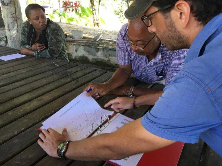
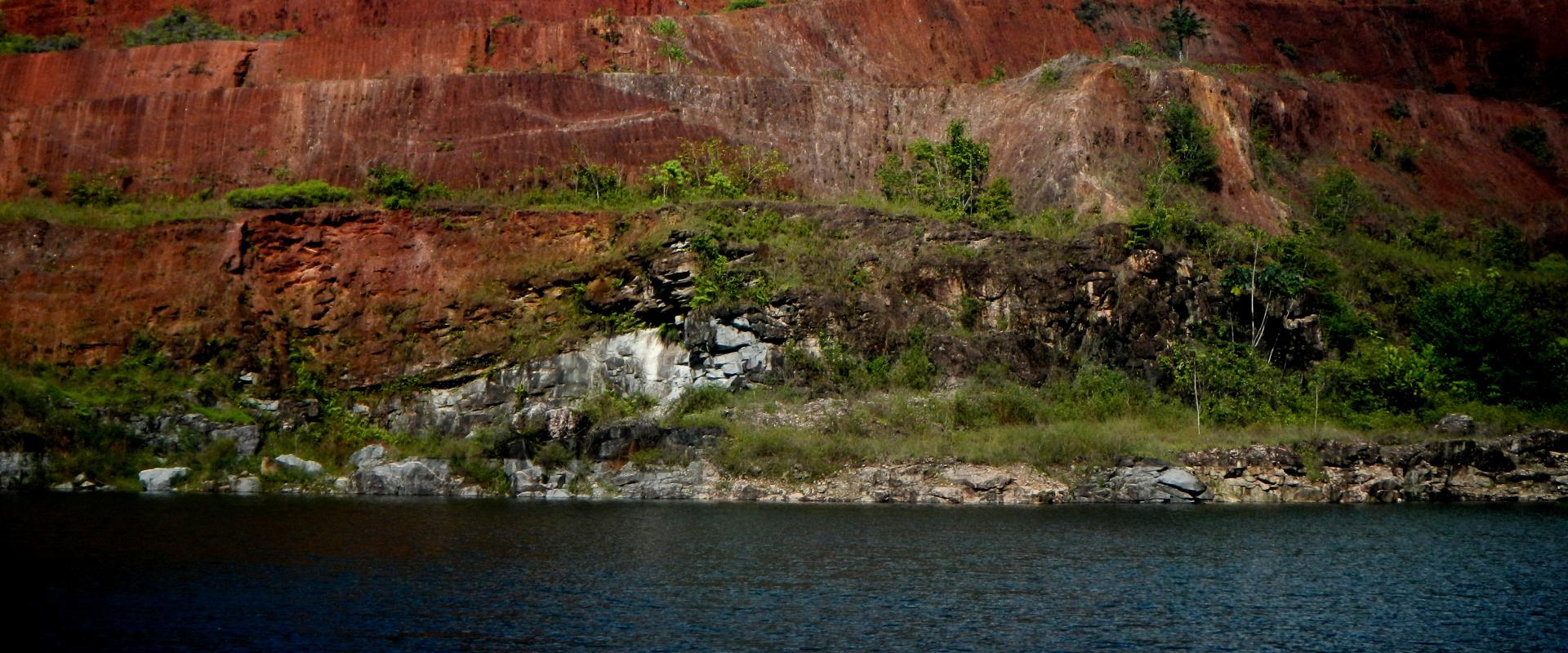
Visite de la carrière du Galion, à proximité de Cayenne (Guyane, juin 2018).
© BRGM - Bénédicte Pesset
Co-development of future scenarios
This third area of work will address the question of trajectories, i.e. the desired or imposed evolution of the relationship between societies and the subsoil in French Guiana, in view of current challenges: employment, population growth, local economic development, the search for new resources, adaptation of land-use patterns, climate change, the need to preserve biodiversity, public health, etc. The teams will thus focus on the co-construction of prospective scenarios, involving the relevant stakeholders, and move towards deliberation (multi-stakeholder and multi-criteria evaluation).
The teams will thus focus on the co-construction of prospective scenarios by involving the stakeholders concerned, and progress towards deliberation (multi-stakeholder and multi-criteria evaluation) on the ability of each scenario to meet the respective stakes of the stakeholders.
This reflection will involve interaction with all stakeholders in the area, using various methods such as the joint elaboration of scientific questions (drawing on accompanying modeling) and serious games based on collective intelligence.
Preserving a local memory of the work carried out
Finally, particular attention will be paid to the local roots of the research carried out and to the spin-offs it may have on the Guyanese territory, including outside the established players in scientific research. To ensure a real long-term transformative effect for the territory, the final phase of the project will take the form of a reflection on the specifications of a museum or conservatory of “Living-Subsoil” relations and their evolution over time and space in French Guiana.
Scientific management
Yann Gunzburger (CNRS), scientific co-leader of the GOYAVES project.
Yann Gunzburger (GeoRessources laboratory, Université de Lorraine - CNRS), is a professor at the Ecole des Mines de Nancy. He is involved in research projects concerning both mining engineering and the territorial integration of extractive projects, analyzed as an essential element in the management of these projects, both for companies and for other stakeholders. He has thus acquired a wealth of experience in highly interdisciplinary research on the relationships and interactions between extractive activities and societies. He contributed to the development of the “Industrie Minérale & Territoires” Chair, and twice served as its scientific coordinator. He has participated in a number of academic activities concerning French Guiana, and also has a good knowledge of mining activities in other countries with similar mining issues: Guinea, Ivory Coast, Morocco, Chile, etc.
Fenintsoa Andriamasinoro (BRGM), scientific co-leader of the GOYAVES project.
Fenintsoa Andriamasinoro has been working at BRGM since 2003, as a social scientist in the fields of mining, post-mining and geothermal energy. He holds a Habilitation à Diriger des Recherches (accreditation to direct research / HDR) in Socioeconomics, and a Diplôme d'Études Universitaires Générales (DEUG / Licence 2) in Sociology. His research interests focus on theoretical and empirical reflection on methods and tools for supporting local stakeholders in the co-construction of their future. He has already been coordinator of two ANR projects, one in the field of mineral resources, the other in the field of geothermal energy.
Partenaires
- Université de Lorraine
- Université de Guyane
- Université de Reims
- IRD
- Université Grenoble Alpes
- INRAE
- Université de Pau et des pays de l’Adour
- CNRS
- BRGM
- ANR
